
1877 Combination Atlas Map of Howard County, Indiana ~ Property Maps ~ Genealogy ~ Kokomo


$75.00
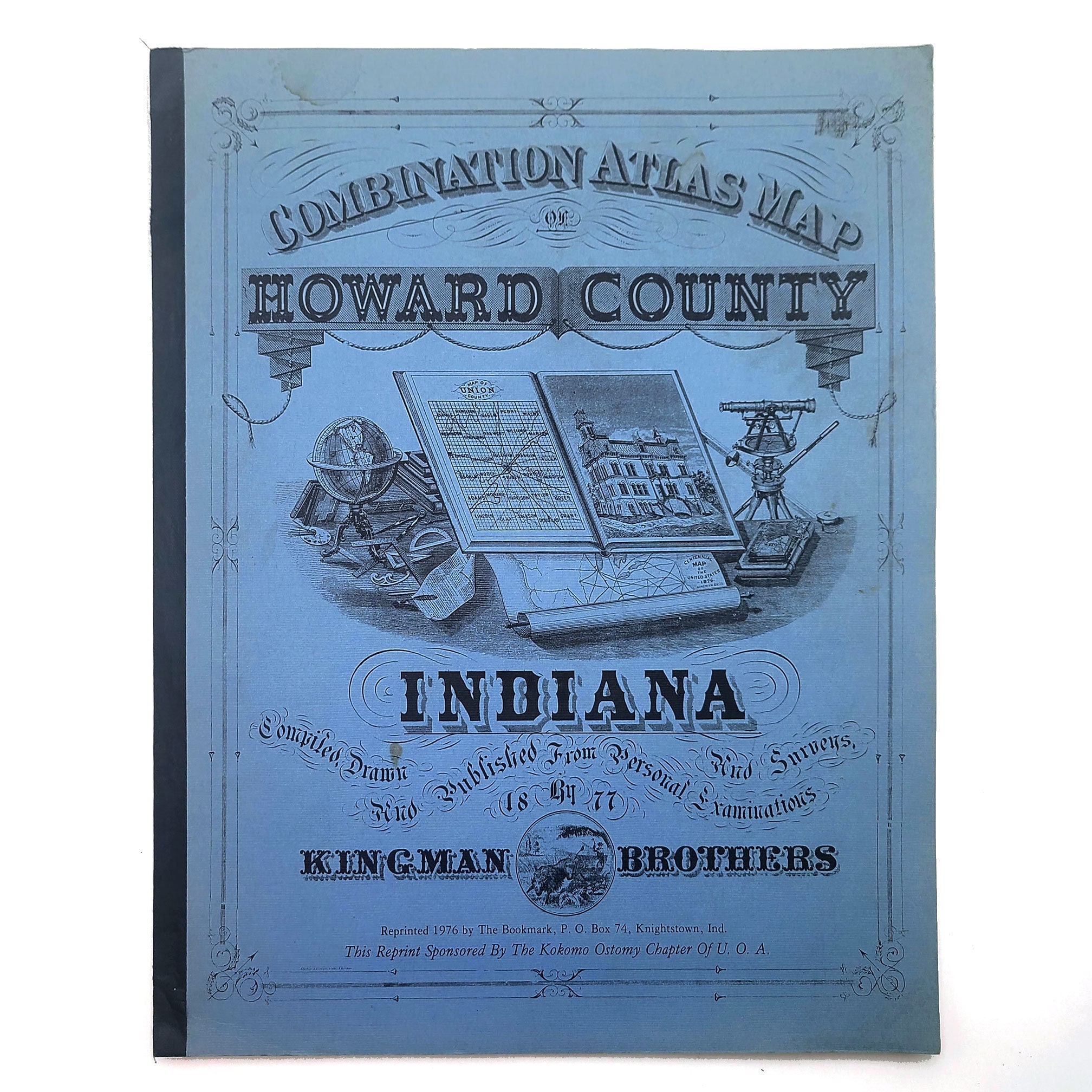
Title: 1877 Combination Atlas Map of Howard County, Indiana
Author: Kingman Brothers
Description: A reprint of the 1877 Combination Atlas Map of Howard County, Indiana. Blue card covers with black blinders tape spine (worn at spine ends). A few spots of soiling on front cover. Interior is clean and unmarked. Irregular pagination, [105] pages. Large format. 17 x 14 inches.
An 1877 atlas of township maps for Howard County, Indiana, showing owner's names, property lines, and pinpoints locations of structures. Also includes about 86 detailed etchings of buildings and villages, plus many portraits of prominent persons. In addition, there are plat maps for Kokomo and thirteen towns/villages. Includes an introductory history of the county and of each of the townships.
Townships included: Center, Clay, Ervin, Harrison, Honey Creek, Howard, Jackson, Liberty, Monroe, Taylor, and Union.
Binding: Soft cover
Condition: Very Good
Publisher: Reprinted by The Bookmark
Place: Knightstown, Ind.
Year: 1976
Keywords: maps, historical, history, property maps, township, townships, plat maps, Kokomo, Center Township, Clay Township, Ervin Township, Harrison Township, Honey Creek Township, Howard Township, Jackson Township, Liberty Township, Monroe Township, Taylor Township, Union Township,
Shipping from United States
Processing time
1 business day
Estimated shipping times
- North America : 3 - 5 business days
I'll do my best to meet these shipping estimates, but can't guarantee them. Actual delivery time will depend on the shipping method you choose.
Customs and import taxes
Buyers are responsible for any customs and import taxes that may apply. I'm not responsible for delays due to customs.